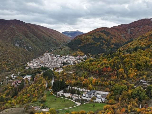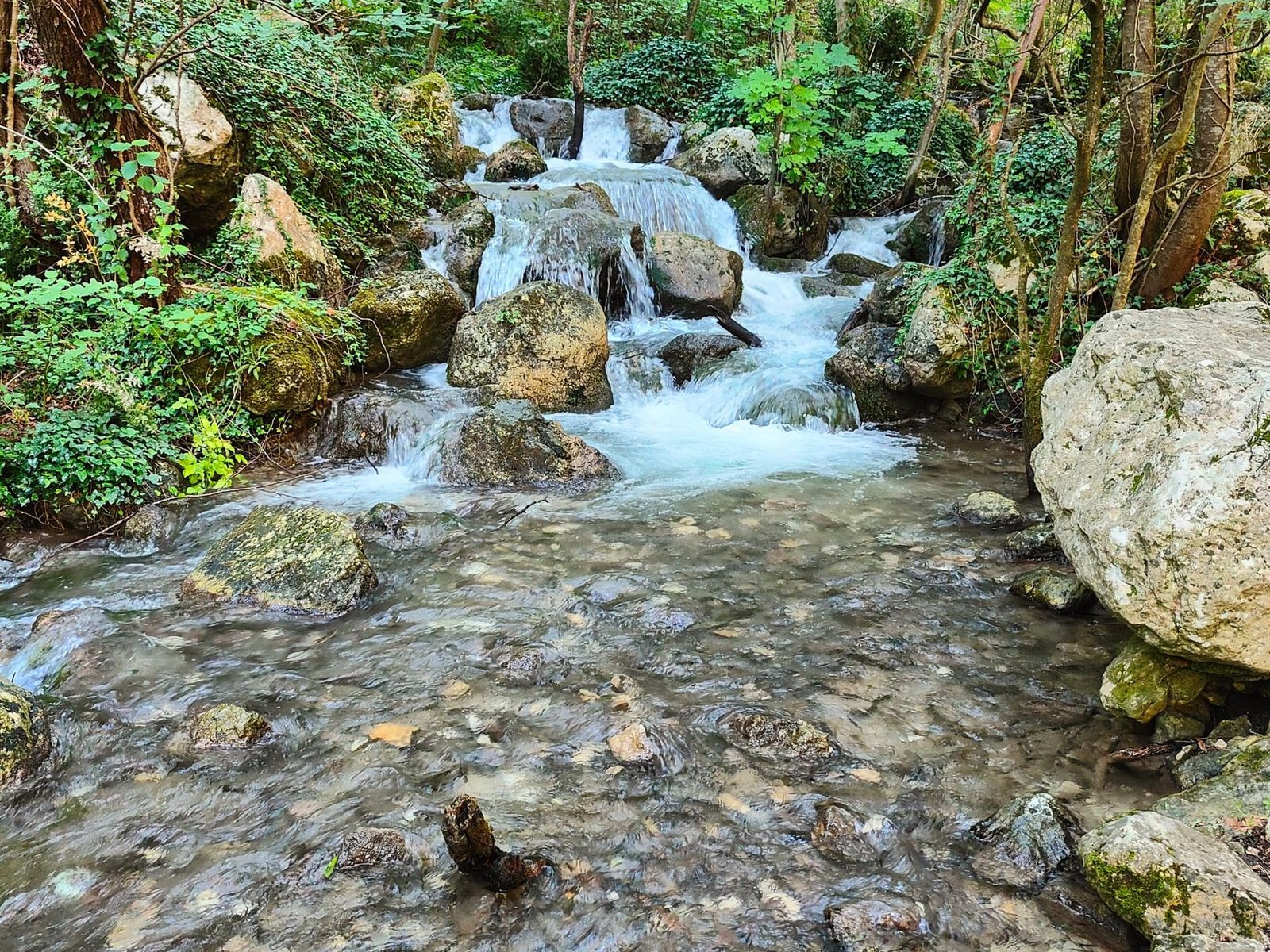
A 6 km loop between Anversa degli Abruzzi and Castrovalva, inside the Sagittario Gorges (Gole del Sagittario) reserve. It suits families and people who don’t hike much: there is only one steep climb, about twenty minutes.
The route
The reserve has been a protected area since 1997. You walk between vertical limestone walls, narrow canyons and the Sagittario river, up to the village of Castrovalva, built on a spur of rock. The loop joins two marked trails: CAI trail 18 (Italian Alpine Club) on the way up, trail 19 on the way back.
Difficulty: E (hiking trail, Italian Alpine Club scale).
Geological trail 18
You start at the entrance of the WWF Oasis, at Sorgenti di Cavuto (the Cavuto springs): worth a stop for a few photos.
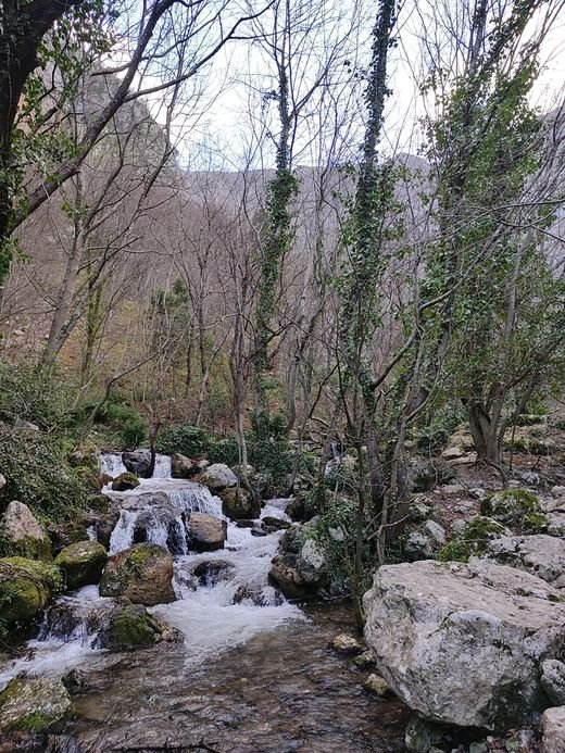
Then the trail follows the river on wooden walkways over the water. The walls close in, and in places little light gets through.

Up to Castrovalva and Colle San Michele
After a short stretch of paved road, the trail climbs through the rocks. This is the hardest part: about 20 minutes to Castrovalva.
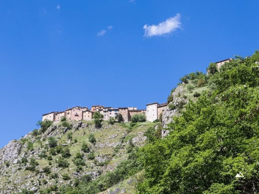
Before entering the village, turn left. Another 20 minutes of easy walking take you to Colle San Michele, with a view over Anversa and the whole valley. The end of this stretch is marked by a clearly visible cross. From there, head back to Castrovalva.

Castrovalva
A hamlet of Anversa, on a sheer spur. Stone houses, very narrow lanes, a single square overlooking the drop. About ten people live here; many houses are now holiday homes or B&Bs.
In 1929 the Dutch artist Maurits Cornelis Escher came through and made several lithographs of the village. Some reproductions hang along its streets.
Castrovalva is the home village of chef Davide Nanni, known for his videos of cooking in the woods with very little equipment. His family runs the Locanda Nido d’Aquila farm restaurant and produces vegetables, olive oil, cheese and honey. The restaurant has about forty seats and they go fast: book weeks, sometimes months, ahead.
Trail 19, the way back
After the village you walk down towards Anversa on trail 19. The view changes: Anversa from above, Castrovalva from a distance, the valley opening towards Cocullo. In its second half the descent has some demanding sections.

Getting there
Parking at the reserve entrance is free. Alternatively, leave the car in the centre of Anversa degli Abruzzi and walk down.
TUA buses reach Anversa all year round, with fewer runs on public holidays. Up-to-date timetables are on tuabruzzo.it.
You can also drive to Castrovalva, but the road is narrow, single-lane in places, and there are very few parking spaces, especially at weekends and in summer. Walking up from Anversa is better: a bit more effort, but you see far more.
More routes in the area: all hiking routes, with a free GPX track.